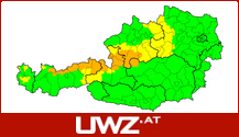
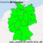
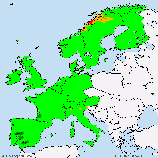
An interesting situation today as hot air from the southwest meets a cold front advancing from the north sea, which will be located approximately from the German Saarland to the Baltic coast in the northeast of the country by the evening. Though no widespread thunderstorm activity is predicted (with exception of heat thunderstorms in Austria, especially over the Alps), individual thunderstorms are expected to form, and have the potential to become severe, with large hail, storm gusts, flash flooding and an increased possibility for tornado development. 
X
Replies: 0 • Hits: 1.269
2017.07.30 - Convective Forecast for Central Europe
Linus H - Founder of M.I.L.K. weather 
- Linus

-
Posts: 2.140 Points: 1.549 Date registered 04.09.2012
Replies: 0 • Hits: 1.269
Current warnings


© M.I.L.K. 2017
M.I.L.K. - Meteorology: Information. Learning. Knowledge.


